Copyright: 1997-2002 Regents of the University of California,
                            University of New Mexico, and
                            Arizona State University
        Sponsors: National Center for Ecological Analysis and Synthesis and
                  Partnership for Interdisciplinary Studies of Coastal Oceans,
                     University of California Santa Barbara
                  Long-Term Ecological Research Network Office,
                     University of New Mexico
                  Center for Environmental Studies, Arizona State University
   Other funding: National Science Foundation (see README for details)
                  The David and Lucile Packard Foundation
     For Details: http://knb.ecoinformatics.org/

        '$Author: obrien $'
          '$Date: 2009-02-25 23:51:54 $'
      '$Revision: 1.50 $'

    This program is free software; you can redistribute it and/or modify
    it under the terms of the GNU General Public License as published by
    the Free Software Foundation; either version 2 of the License, or
    (at your option) any later version.

    This program is distributed in the hope that it will be useful,
    but WITHOUT ANY WARRANTY; without even the implied warranty of
    MERCHANTABILITY or FITNESS FOR A PARTICULAR PURPOSE.  See the
    GNU General Public License for more details.

    You should have received a copy of the GNU General Public License
    along with this program; if not, write to the Free Software
    Foundation, Inc., 59 Temple Place, Suite 330, Boston, MA  02111-1307  USA
moduleName: eml-spatialRastermoduleDescription: The eml-spatialRaster module - Logical information about regularly gridded geospatial image datarecommendedUsage: all spatial datasets that use spatial gridded datastandAlone: yes
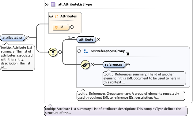
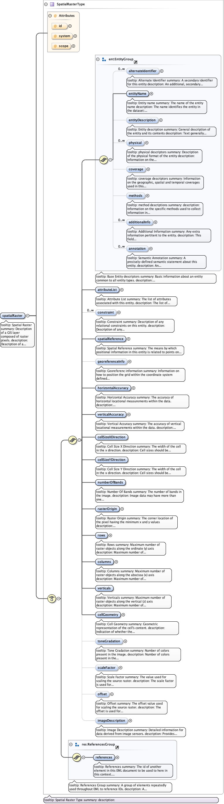
tooltip: Attribute Listsummary: The list of attributes associated with this entity.description: The list of attributes associated with this entity. For more information see the eml-attribute module.
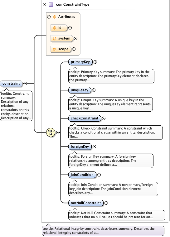
tooltip: Constraintsummary: Description of any relational constraints on this entity.description: Description of any relational constraints on this entity. For more information see the eml-constraint module.
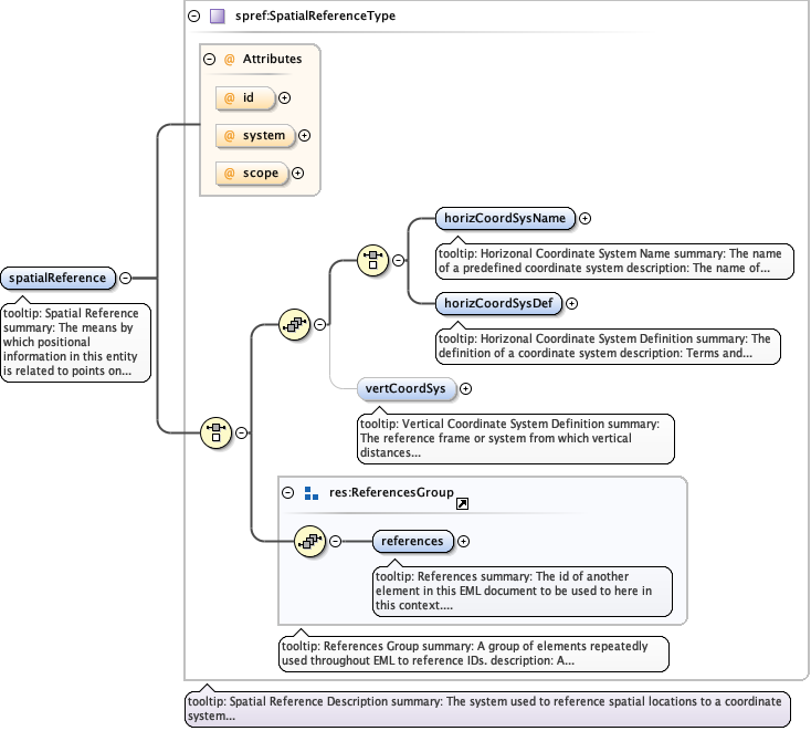
tooltip: Spatial Referencesummary: The means by which positional information in this entity is related to points on the earth's surface.description: Spatial Referencing systems define the coordinates used to describe horizontal and vertical locations. These are typically either geographic, projected planar, or arbitrary planar.
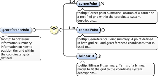
tooltip: Georeferenc informationsummary: Information on how to position the grid within the coordinate system defined in the spatial reference module.description: Information on how to position the grid within the coordinate system defined in the spatial reference module.
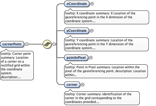
tooltip: Corner pointsummary: Location of a corner on a rectified grid within the coordinate system.description: Location of a corner on the coordinate system defined in the spatial reference module. Use this element when the rows and columns of the grid are aligned with the coordinate system. One or more corner points are needed to locate a rectified grid.
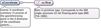
tooltip: X coordinatesummary: X Location of the georeferencing point in the X diminsion of the coordinate system.description: Location of the georeferencing point expressed in units of the coordinate system defined in the spatial Reference module.example: 455000
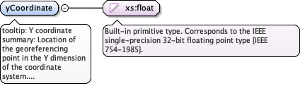
tooltip: Y coordinatesummary: Location of the georeferencing point in the Y dimension of the coordinate system.description: Y Location of the georeferencing point expressed in units of the coordinate system defined in the spatial Reference module.example: 3455000
tooltip: Point in Pixelsummary: Location within the pixel of the georeferencing point.description: Location within the pixel of the georeferencing point.example: upperLeft
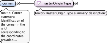
tooltip: Cornersummary: Identification of the corner in the grid corresponding to the coordinates provided.description: Identification of the corner in the grid corresponding to the coordinates provided.example: Upper Left
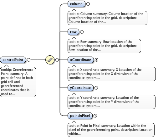
tooltip: Georeference Pointsummary: A point defined in both grid cell and georeferenced coordinates that is used to position the raster grid within the coordinate system defined in the spatialReference modoule.description: If the grid is rectified to the coordinate system, then a single point may be used to position the grid. Otherwise, a series of points is necessary to fit the grid to the coordinate system.
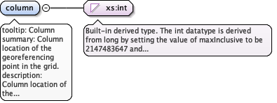
tooltip: Columnsummary: Column location of the georeferencing point in the grid.description: Column location of the georeferencing point indicated as the nth column counting the cell indicated in rasterOrigin as column 1.example: 1
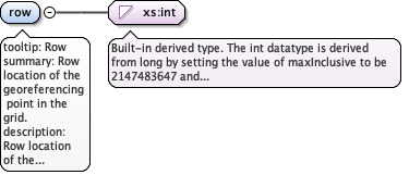
tooltip: Rowsummary: Row location of the georeferencing point in the grid.description: Row location of the georeferencing point indicated as the nth row counting the cell indicated in rasterOrigin as row 1.example: 1
tooltip: X coordinatesummary: X Location of the georeferencing point in the X diminsion of the coordinate system.description: Location of the georeferencing point expressed in units of the coordinate system defined in the spatial Reference module.example: 455000
tooltip: Y coordinatesummary: Location of the georeferencing point in the Y dimension of the coordinate system.description: Y Location of the georeferencing point expressed in units of the coordinate system defined in the spatial Reference module.example: 3455000
tooltip: Point in Pixelsummary: Location within the pixel of the georeferencing point.description: Location within the pixel of the georeferencing point.example: upperLeft
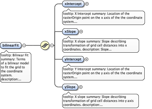
tooltip: Bilinear Fitsummary: Terms of a bilinear model to fit the grid to the coordinate system.description: Intercept and slope terms to describe the orientation and position of the grid to the coordinate system based on corner point identified in the rasterOrigin element. defined in the spatial Reference module.
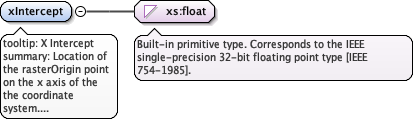
tooltip: X Interceptsummary: Location of the rasterOrigin point on the x axis of the the coordinate system.description: X Intercept of the rasterOrigin point within the coordinate system.example: 3455000
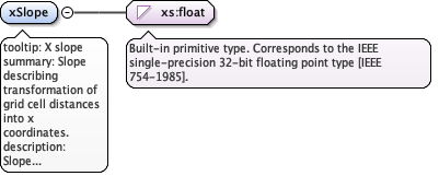
tooltip: X slopesummary: Slope describing transformation of grid cell distances into x coordinates.description: Slope describing transformation of grid cell distances into x coordinates.example: 5.0123
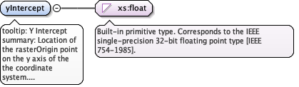
tooltip: Y Interceptsummary: Location of the rasterOrigin point on the y axis of the the coordinate system. description: Location of the rasterOrigin point on the y axis of the the coordinate system. example: 455000
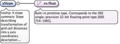
tooltip: X slopesummary: Slope describing transformation of grid cell distances into y axis coordinates. description: Slope describing transformation of grid cell distances into y axis coordinates. example: 5.0123
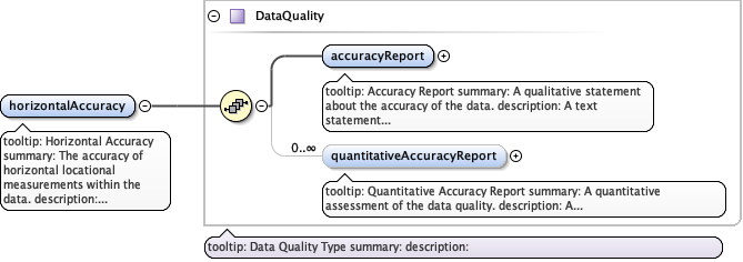
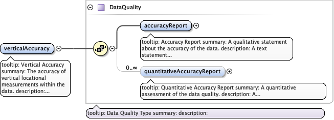
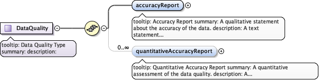
tooltip: Horizontal Accuracysummary: The accuracy of horizontal locational measurements within the data.description: Horizontal accuracy may be reported either as a quantitative estimate expressed in the units of the coordinate system or as a text assessment.
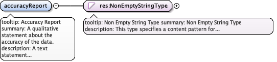
tooltip: Accuracy Reportsummary: A qualitative statement about the accuracy of the data.description: A text statement of the data quality, included the means by which it was determined.
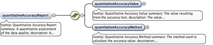
tooltip: Quantitative Accuracy Reportsummary: A quantitative assessment of the data quality.description: A quantitative assessment of the data quality expressed as a value and the method of its determination.
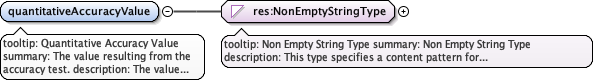
tooltip: Quantitative Accuracy Valuesummary: The value resulting from the accuracy test.description: The value resulting from the accuracy test. Typically, this will be expressed in units corresponding to those declared for the parameter being assessed.example: 4.5
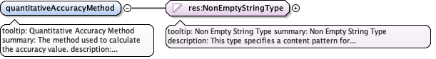
tooltip: Quantitative Accuracy Methodsummary: The method used to calculate the accuracy value.description: Identification and explanation of the method used to calculate the quantitative accuracy assessment.example: Error expressed as root mean square of 5 control points.
tooltip: Vertical Accuracysummary: The accuracy of vertical locational measurements within the data.description: Vertical accuracy may be reported either as a quantitative estimate expressed in the units of the height or depth measurement system or as a text assessment.
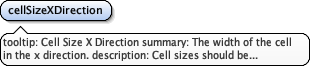
tooltip: Cell Size X Directionsummary: The width of the cell in the x direction.description: Cell sizes should be expressed in the units declared in the spatialReference module.example: 28.5
tooltip: Cell Size Y Directionsummary: The width of the cell in the x direction.description: Cell sizes should be expressed in the units declared in the spatialReference module.example: 28.5
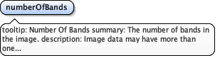
tooltip: Number Of Bandssummary: The number of bands in the image.description: Image data may have more than one sensor band represented for each pixel.example: 7
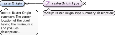
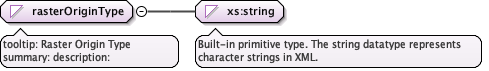
tooltip: Raster Originsummary: The corner location of the pixel having the minimum x and y valuesdescription: Identification the corner of the grid where the first values for both the x and y axes begin in the file. example: Upper Left
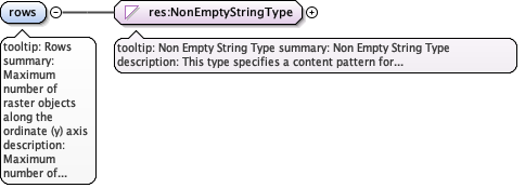
tooltip: Rowssummary: Maximum number of raster objects along the ordinate (y) axisdescription: Maximum number of raster objects along the ordinate (y) axisexample: 455
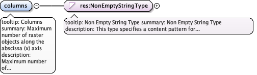
tooltip: Columnssummary: Maximum number of raster objects along the abscissa (x) axisdescription: Maximum number of raster objects along the abscissa (x) axisexample: 455
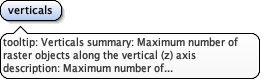
tooltip: Verticalssummary: Maximum number of raster objects along the vertical (z) axisdescription: Maximum number of raster objects along the vertical (z) axis.
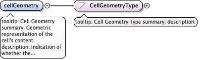
tooltip: Cell Geometrysummary: Geometric representation of the cell's content.description: Indication of whether the cell value is representative of a single point(matrix) within the cell or the entire cell (pixel)example: pixel
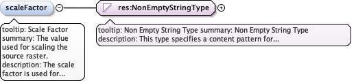
tooltip: Scale Factorsummary: The value used for scaling the source raster.description: The scale factor is used for raster-rescaling operations, where the following operation is applied to each pixel in the data in the source: rescaled=(source*scaleFactor)+offset.example: 2
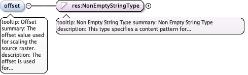
tooltip: Offsetsummary: The offset value used for scaling the source raster.description: The offset is used for raster-rescaling operations, where the following operation is applied to each pixel in the data in the source: rescaled=(source*scaleFactor)+offset.example: 20
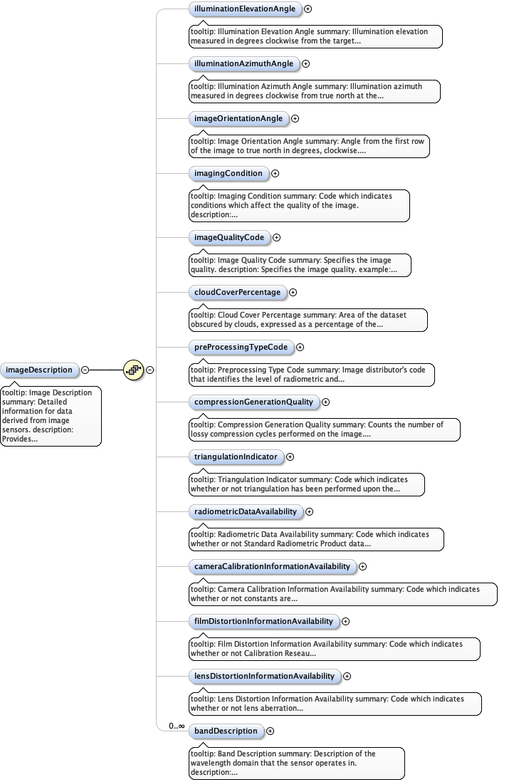
tooltip: Image Descriptionsummary: Detailed information for data derived from image sensors.description: Provides information about the image's suitability for use, sensor properties, and individual band descriptions.
tooltip: Illumination Elevation Anglesummary: Illumination elevation measured in degrees clockwise from the target plane at intersection of the optical line of sight with the earth's surface.description: Illumination elevation measured in degrees clockwise from the target plane at intersection of the optical line of sight with the earth's surface.example: 45.5
tooltip: Illumination Azimuth Anglesummary: Illumination azimuth measured in degrees clockwise from true north at the time the image is taken.description: Illumination azimuth measured in degrees clockwise from true north at the time the image is taken.example: 45.5
tooltip: Image Orientation Anglesummary: Angle from the first row of the image to true north in degrees, clockwise.description: Angle from the first row of the image to true north in degrees, clockwise.example: 45.5
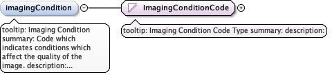
tooltip: Imaging Conditionsummary: Code which indicates conditions which affect the quality of the image.description: Code which indicates conditions which affect the quality of the image.example: cloud
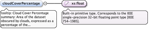
tooltip: Cloud Cover Percentagesummary: Area of the dataset obscured by clouds, expressed as a percentage of the spatial extent.description: Area of the dataset obscured by clouds, expressed as a percentage of the spatial extent.example: 12
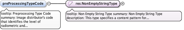
tooltip: Preprocessing Type Codesummary: Image distributor's code that identifies the level of radiometric and geometric processing applied against the image.description: Image distributor's code that identifies the level of radiometric and geometric processing applied against the image.example: LEVELl1A, SPOTVIEWORTHO
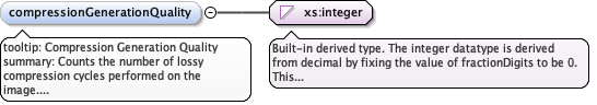
tooltip: Compression Generation Qualitysummary: Counts the number of lossy compression cycles performed on the image.description: Counts the number of lossy compression cycles performed on the image.example: 2
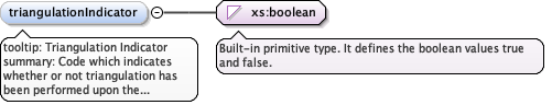
tooltip: Triangulation Indicatorsummary: Code which indicates whether or not triangulation has been performed upon the image.description: Code which indicates whether or not triangulation has been performed upon the image.example: false
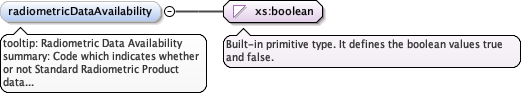
tooltip: Radiometric Data Availabilitysummary: Code which indicates whether or not Standard Radiometric Product data is available.description: Code which indicates whether or not Standard Radiometric Product data is available.example: false
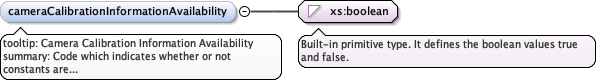
tooltip: Camera Calibration Information Availabilitysummary: Code which indicates whether or not constants are available which allow for camera calibration corrections.description: Code which indicates whether or not constants are available which allow for camera calibration corrections.example: false
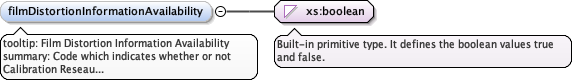
tooltip: Film Distortion Information Availabilitysummary: Code which indicates whether or not Calibration Reseau information is availabledescription: Code which indicates whether or not Calibration Reseau information is availableexample: true
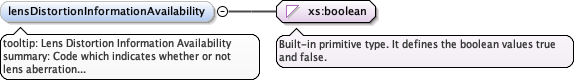
tooltip: Lens Distortion Information Availabilitysummary: Code which indicates whether or not lens aberration correction information is availabledescription: Code which indicates whether or not lens aberration correction information is availableexample: true
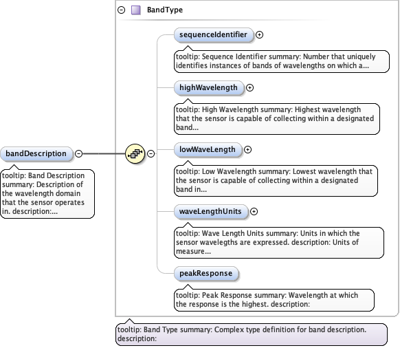
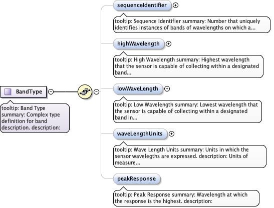
tooltip: Band Descriptionsummary: Description of the wavelength domain that the sensor operates in.description: Description of the wavelength domain that the sensor operates in
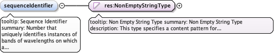
tooltip: Sequence Identifiersummary: Number that uniquely identifies instances of bands of wavelengths on which a sensor operates.description: Number that uniquely identifies instances of bands of wavelengths on which a sensor operates.example: 3
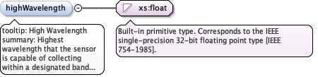
tooltip: High Wavelengthsummary: Highest wavelength that the sensor is capable of collecting within a designated band in metres.description: Highest wavelength that the sensor is capable of collecting within a designated band.example: 2.456
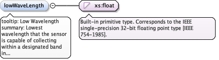
tooltip: Low Wavelengthsummary: Lowest wavelength that the sensor is capable of collecting within a designated band in metres.description: Lowest wavelength that the sensor is capable of collecting within a designated band.example: 0.1234
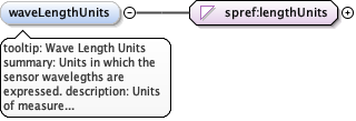
tooltip: Wave Length Unitssummary: Units in which the sensor wavelegths are expressed.description: Units of measure for the wavelength at which the sensor collected the data.example: microns
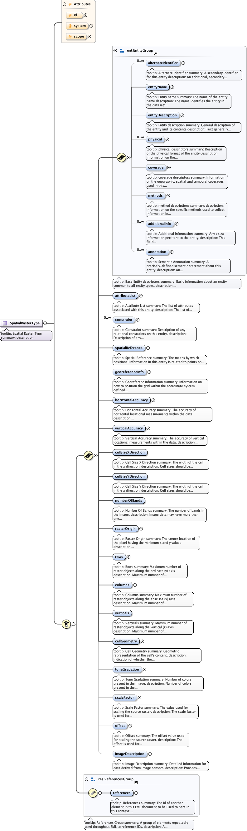
tooltip: Spatial Rastersummary: Description of a GIS layer composed of raster pixels.description: Description of a GIS layer composed of raster pixels comprising a regular-pattern grid. Generally, a raster object may be thought of as a pattern of closely spaced rows of dots that collectively form an image. Raster spatial objects are used to locate zero-, two-, or three-dimensional locations in the datasetexample: An interpolated grid of irregularly spaced data is an example of this element.